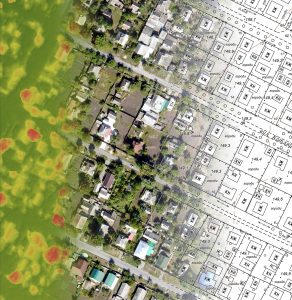
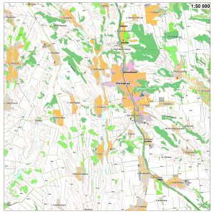
 Topographic maps and plans
Topographic maps and plans – the basis for the development of your settlement!
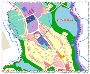 Architecture and urban planning
Let us together form the space of your locality and improve the quality of life!
 Learning GIS-technologies
We invite everyone to take GIS technology training courses!
Minimum of theory, maximum of practical consolidation of work skills!
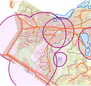 GIS analysis
Automation of solving complex analytical problems by creating author’s geographic information models.
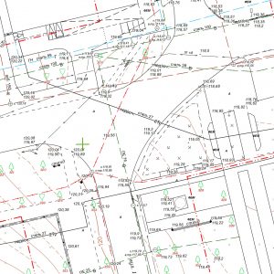 Geodesy
A complete range of geodetic services for topography, land management and construction.
 Digital Cartography
Creation of digital and vector maps of any scale in the database format of geoinformation systems.
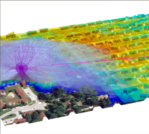 Radio Network Design
Designing radio networks based on Cellular Expert Enterprise software.
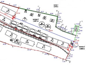 Land management and cadastre
Implementation of land management tasks of any complexity.
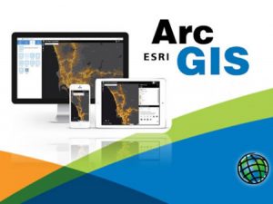 Software supply
We supply all ESRI products and provide technical support.